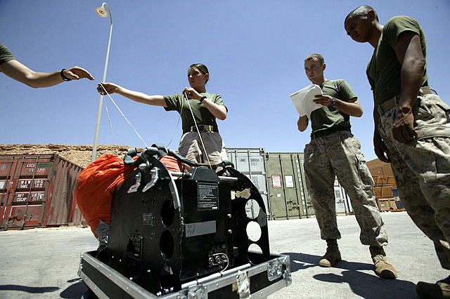
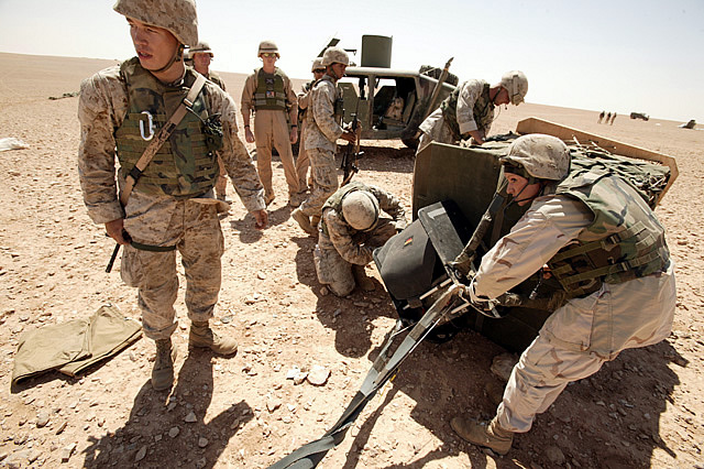
GPS has now taken the unpredictability of aircraft dropping equipment and supplies. Since first used in the 1940s, to get equipment and supplies to isolated troops, there was always a problem of getting the parachuted stuff to land where it was wanted. Often, for surrounded troops, the supplies would land among the enemy forces. In most cases, there was the danger of the airdrop going into the water, or some other inaccessible area. Paratroopers had much less of a problem, as they could pull the chords to maneuver the parachute. The GPS solution uses a GPS unit, a small computer and a mechanical device that pulls two chords that maneuver the parachute to the location the GPS unit is programmed to aim for. The system is called Sherpa, and has the added advantage of allowing transport aircraft to drop stuff from a higher, and safer (from ground fire) altitudes. In the past, the most accurate drops were made at low altitude. But with Sherpa, you can be over 10,000 feet when making the drop. As long as you are close enough for Sherpa to handle the prevailing winds, Sherpa will find the drop point, and land within 200 meters of it. Without Sherpa, stuff can land a kilometer or more from the drop zone, meaning that the troops have to drive, or hike out, and haul the stuff back. Sherpa is being used by the U.S. Air Force in Iraq and Afghanistan.

Marine parachute riggers in Iraq prepare to stow the parachute that goes with the Sherpa guidance system.

Marines remove Sherpa unit from a load of supplies that was just dropped, and guided to a pinpoint parachute landing in Iraq, by the Sherpa unit.
Posted: 10/01/2004